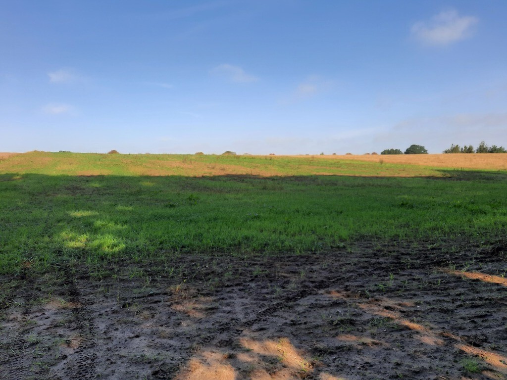
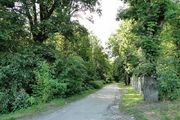
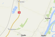
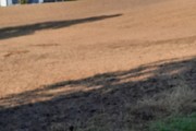
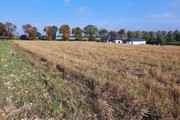
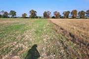
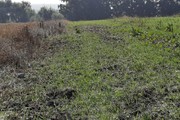
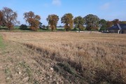
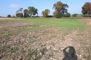
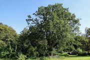
A beautifully situated plot of land in Kurów, 60 meters wide, bordering the road. It has an area of 2.02 hectares and overlooks the Oder River floodplains and a Landscape Park. This plot is not covered by a local development plan; according to the study, detached single-family homes can be built; the neighboring plots have been divided into 3,000 m² plots. Utilities are nearby. The village is located 2.5 km from the southwestern border of Szczecin on the high, western slope of the Oder Valley. The first mention of Kurów dates back to 1355. Atop a steep hill, known as the Urwisko (Urwisko), a castle was said to have been built by robbers who attacked merchants transporting their goods to Szczecin by water. According to legend, their battle cry was the crowing of a rooster (hence the name of the village), and when the crime was complete, the castle collapsed. In 1945, heavy fighting raged near Kurów for Międzyodrze. On April 26, 1945, General Paweł Batow received the mayor of Szczecin here, who had surrendered the city. At the foot of the hill lies a large manor park with specimens including yews and plane trees (the largest measuring 305 cm in circumference), and a pedunculate oak with a circumference of 450 cm, known as the Robbers' Oak – a natural monument. A three-story warehouse from 1865 survived from the farm buildings. Near the village, on Międzyodrze Island, lies the Kurowskie Błota Nature Reserve, covering 30.64 hectares. It was established in 1965 to preserve the nesting grounds of cormorants, grey herons, and other birds.
Land for sale 20200 m²
Kurów
Zachodniopomorskie
Zachodniopomorskie
FKT24785 10254507
7 070 000 PLN
Price m²: 350,00 PLN
Price m²
350,00
Ground ownership type
Mortgage
Lot area
20200 m²
Lot destination
Residential building
Driveway type
Asphalt
Water
Yes